The heatwave has arrived.
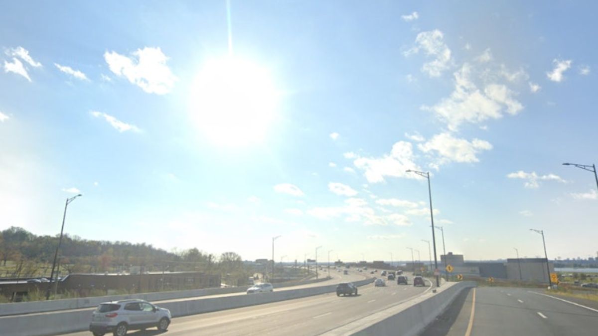
Temperatures and humidity are rising as the tri-state region approaches a potentially record-breaking heat wave, with temperatures reaching 100 degrees or more on some days. Monday through Wednesday is likely to feel like 100 degrees or warmer.
Related posts
“The National Weather Service has increased New York City’s Heat Watch to an Extreme Heat Warning, effective tomorrow. This is the highest degree of heat alert,” the NWS announced over the weekend.
Tuesday’s air temperature at Central Park is expected to be the highest since 2012.
On Sunday, Governor Kathy Hochul proclaimed a state of emergency in 32 of the state’s 62 counties, including all five boroughs. The state’s fire prevention teams and swift water rescue crews have been placed on alert for any potential incidents.
“I urge all New Yorkers to stay weather aware and take precautions to stay vigilant and safe as extreme heat and severe weather are expected to continue impacting the state over the next couple of days,” Hochul wrote in a press release.
Heat stroke symptoms set on fast
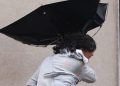
This type of heat is harmful, especially because it occurs so fast, before our bodies have a chance to adjust to it. Because of this, be especially cautious outside next week. Limit your time outside, avoid heavy physical activity, stay in the shade if possible, and drink lots of water.
Vulnerable groups will be at risk, particularly as a result of the protracted exposure, which will most certainly last till the end of next week.
Furthermore, all three of the hottest days — Monday, Tuesday, and Wednesday — will set records, and not just in Central Park. According to our current projection, those days could also see record-warm low temperatures.
This heat dome will keep showers and storms away until Thursday. This helps to relieve some of the heat by the end of next week.


