Southern Wisconsin will experience a one-two weather punch late Monday, with deadly heat followed by potentially severe storms overnight.
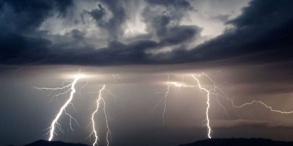
The National Weather Service in Milwaukee predicts that a complex of strong to severe thunderstorms will arrive between 10 p.m. Monday and 1 a.m. Tuesday, with a peak from 11 p.m. to 3 a.m. The system, which is moving in from Minnesota and western Wisconsin, could still bring severe wind gusts, small hail, and frequent lightning, particularly south and east of I-39, around Madison, Janesville, and Milwaukee.
Heavy rain is expected, and while the storms should subside as they move southeast, wind damage is still a worry. Earlier Monday, the region was under a heat advisory, with “feels-like” temperatures rising beyond 100°F in spots like Monroe (102°F) and Fond du Lac (101°F), putting additional strain on power systems ahead of the storms.
Residents are asked to minimize needless travel during peak storm hours, secure outside objects, and charge gadgets ahead of time. Wind and lightning strikes can cause localized power outages.
Storm activity may continue until 6 a.m. Tuesday, with more alerts possible.