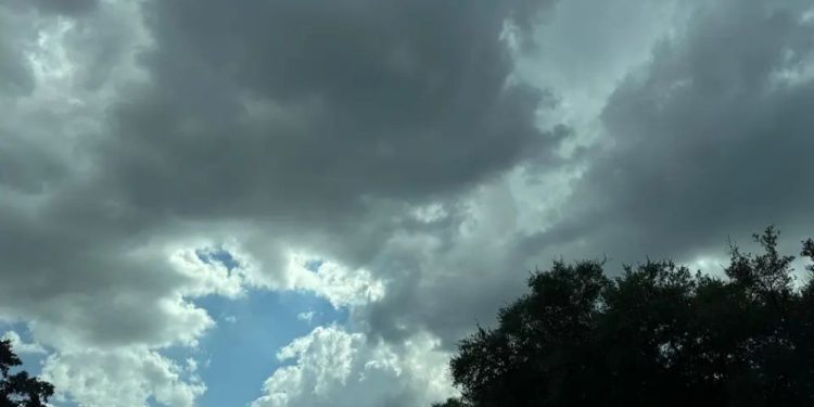
Fall has finally arrived, bringing the days when putting on a light jacket before leaving the house a reality. According to the National Weather Service (NWS), areas of South and Central Texas may see an unusual cold front this week, coupled with some severe weather.
The cooler air is moving in from the southern plains and should reach the Texas-Oklahoma line late Tuesday, September 23. Forecasters anticipate that San Antonio and its neighboring areas will have cooler—and wetter—temperatures the next day.
Much further north, sections of Dallas and Fort Worth could get hail and destructive winds when it arrives.
“Scattered storms will develop along and ahead of the cold front that will move into North TX late Tuesday, spreading southeast through the evening. Some strong to severe storms will be possible, capable of producing damaging wind gusts and large hail,” the NWS Fort Worth office shared.
A few powerful storms may develop throughout Central Texas, bringing hail, strong gusty winds, and heavy rain.
This week, many will find that good things come to those who wait. We’ll have to endure several more hot and dry days until the middle of the week.
Relief is forecast that night, with a 20% probability of showers after 1 a.m. On Wednesday, temperatures in the Alamo City are forecast to plummet by 10 degrees. Local highs are anticipated to hit 95 degrees, and lows will be 78 degrees. On Thursday, those temperatures will drop to a windy 89 and 70 degrees before gradually rising again throughout the weekend.
“This will bring showers and thunderstorms through South-Central Texas, with the best chances will be during the afternoon Wednesday,” the NWS San Antonio/Austin Office wrote.
Meanwhile, Austin could experience significantly colder temperatures. On Wednesday, highs are anticipated to reach only 93 degrees, with lows of 77 degrees. The next day, those temperatures are 89 and 70 degrees, and the city’s lows continue to fall during the second half of the week.
“High temperatures will increase a couple of degrees today [Monday, September 22] and Tuesday,” the NWS San Antonio/Austin Office wrote. “Highs will be well above normal, with some places south and southwest of San Antonio reaching triple digits. Humidity will be high enough over the Coastal Plains to send heat indices to near Heat Advisory level Tuesday.”
San Antonio and Austin to see 10-degree drop mid-week amid Texas cold front
Rainy weather is expected in the region at the same time as the front. There is a 60% chance of rain on Wednesday, with showers possible after 1 p.m. Conditions should clear before a 50 percent chance of showers and thunderstorms returns after nightfall.
“Perceptual water values will be near 2.0 inches ahead of the front, and we could see some locations in the Coastal Plains get an inch or two of rain Wednesday night,” the NWS forecast discussion read.
A small (30 percent probability) chance of showers persists throughout Thursday morning, when the front begins to weaken and pass to the southeast of the country.
Though it may feel like it took long to arrive, the colder weather is typical for the region.
In an earlier interview, NWS meteorologist Monte Oaks told MySA that this month normally sees a transition from mid-70 to low-70 norms.
“You really see the more sharper drop-off in mid-temperature averages in the mid-September timeframe,” Oaks said.


