Northern Wisconsin is set for a snowy stretch. On Sunday, lake-effect snow bands form off Lake Superior and spread over the Northwoods, complicating travel from Eagle River to Rhinelander. Snow will fall beginning in the middle of the morning and continuing into Monday, covering roads and impairing visibility across higher terrain and open stretches.
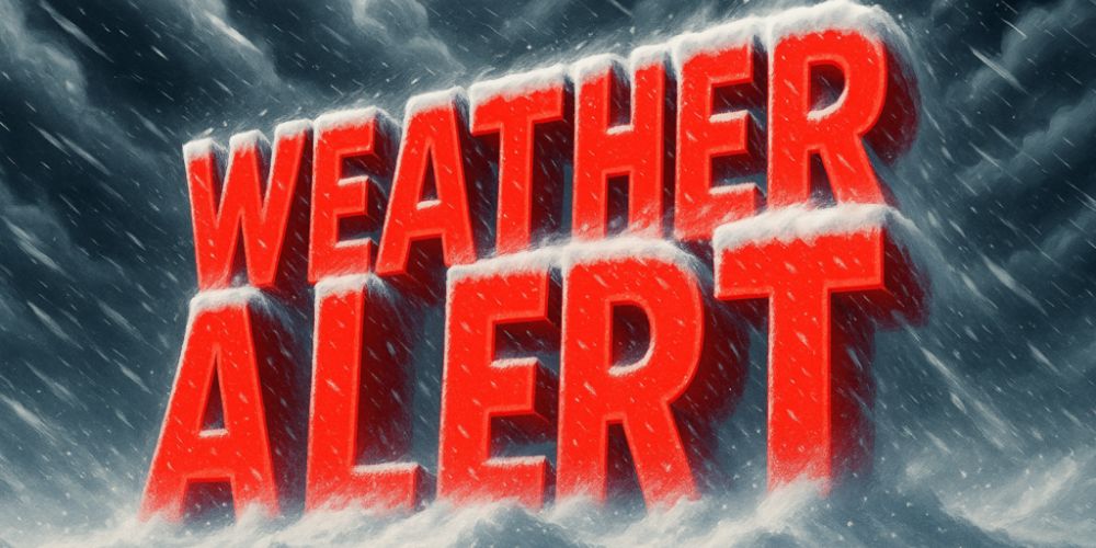
The National Weather Service in Green Bay has issued a Winter Weather Advisory for Oneida County from 9 a.m. to 6 p.m. Sunday and Vilas County until 6 a.m. Monday. Snowfall amounts will range greatly, with 1 to 2 inches forecast in Rhinelander and 2 to 4 inches (up to 6 inches locally) in Vilas County’s northwest corner around Lac du Flambeau and Manitowish Waters.
Motorists traveling on U.S. 45, Highway 70, and Highway 47 should expect snow-covered roadways and rapidly shifting visibility, particularly when larger bursts form. The most severe snowfall is forecast during daytime hours on Sunday, coinciding with increased lake-effect development.
Residents are advised to slow down, use headlights, and allow for extra travel time, as even light snow can cause slick areas on bridges and untreated surfaces.
Snow will gradually taper off late Sunday night in most regions, though Vilas County may see lingering flakes through early Monday before drier air arrives. Another weak system midweek might bring light snow back to Wisconsin’s far north, indicating a true November pattern shift towards winter.