A powerful early-season winter storm is expected to blanket the Great Smoky Mountains and nearby Southern Appalachians with heavy snow and blizzard-like conditions through Monday, forecasts say.
Meteorologists update that up to 18 inches of snow might fall on the Smokies’ highest peaks, including Kuwahi (Clingmans Dome) and Mount Guyot, while lower elevations in Tennessee, North Carolina, and north Georgia may receive flurries or small snow accumulations.
Heaviest Snow in the Smoky Mountains
This Article Includes
Weather forecasts predict 6-12 inches of snow for much of the Smokies and foothills, with higher ridges seeing totals approaching a foot and a half. Strong winds will accompany the snowfall, resulting in whiteout conditions in mountain passes and higher ridgelines.
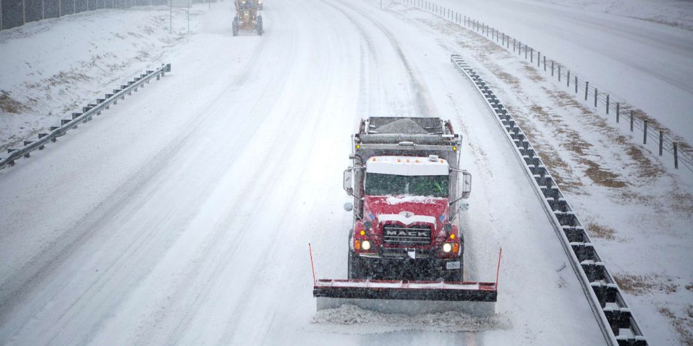
Forecasters predict that travel across the Smoky Mountains National Park and areas of eastern Tennessee into western North Carolina will be exceedingly dangerous from late Sunday into early Monday.
“Big time snow for the highest peaks of the Smokies tonight and Monday,” meteorologists noted in a forecast update. “Many folks across middle and eastern Tennessee, northeast Alabama, north Georgia, and parts of the Carolinas will be surprised by flurries and light snow Monday.”
Flurries Spreading Into the Southeast
Beyond the high peaks, light snow or flurries are likely in eastern Tennessee, northeast Alabama, north Georgia, and western North Carolina as cold air intensifies overnight. Some regions may receive a light dusting of snow, which could quickly coat grassy surfaces and rooftops early Monday.
Even places as far south as Atlanta and northern Alabama may receive wintry showers, while considerable accumulation is not forecast.
Travel and Safety Warnings
Authorities urge residents and visitors to avoid mountain travel during the storm and to keep an eye on local alerts for quickly changing conditions. Heavy snow, gusting winds, and icy roads may make some routes unusable, particularly in the Great Smoky Mountains National Park.
Travelers are encouraged to bring emergency supplies, dress in layers, and avoid needless travel through high-elevation locations until road crews can clear the snow late Monday.
Early Winter Chill for the Region
As the snow melts by late Monday, temperatures will stay well below normal, leaving roads hazardous until Tuesday morning. According to meteorologists, this system represents the Southern Appalachian region’s first substantial winter event of the season.