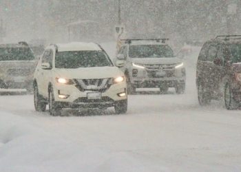
Ohio travelers may confront a wetter and potentially wintry stretch during the busy Thanksgiving travel period, as new long-range federal forecasts predict above-normal precipitation across much of the state from November 23 to November 29.
The Climate Prediction Center’s 8-14 Day Outlook, released on Saturday, indicates that a 40-50% likelihood zone for above-normal precipitation extends right across Ohio. Northern Ohio, which includes Cleveland and Toledo, is closest to the higher-confidence region because of colder air and a more active storm pattern from the Midwest into the Great Lakes. Southern Ohio, including Cincinnati, is above normal, albeit with slightly milder temperatures that may favor rain over snow at times.
Columbus and central Ohio are at the dividing line, where slight temperature differences can decide whether precipitation arrives as cold rain, mixed precipitation, or wet snow. While it is too early to predict particular totals or storm trajectories, the pattern has traditionally supported travel disruptions when moisture and marginal temperatures coincide.
The timing coincides with some of the peak travel days of the year. If colder air deepens across the Great Lakes, motorists driving north into Toledo or Cleveland may find better conditions for early-season snowfall. Air travelers may potentially face delays if the approaching storm track affects regional hubs such as Detroit, Chicago, or Pittsburgh.
While forecasters are increasingly confident in a wetter-than-normal pattern, the possibility for snowfall accumulation will become evident as short-range models begin to capture specific systems early next week. Travelers are reminded to check for daily updates as the Thanksgiving holiday approaches.


