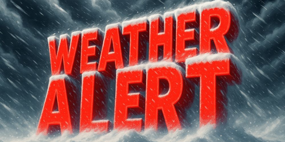
Illinois is positioned for a wetter and potentially wintry stretch during the Thanksgiving travel window, with new longer-range federal forecasts predicting above-normal precipitation statewide from November 23 to November 29.
According to the Climate Prediction Center’s 8-14 Day Outlook, Illinois is in a 40-50% chance of receiving above-average precipitation. This region stretches from Texas to the central Plains and into the Great Lakes, creating an active storm corridor that frequently affects Midwest travel in late November.
Northern Illinois, including Chicago and Rockford, is closest to colder air collecting in the Upper Midwest. While temperatures are not expected to be consistently below normal, they may be low enough at times to support spells of wet snow or mixed precipitation, particularly overnight or early in the morning hours.
Central Illinois, including areas like Peoria and Springfield, remains in the same increased precipitation zone; however, slightly warmer temperatures may cause some precipitation events to occur as cool rain instead. Southern Illinois is similarly in the above-normal precipitation category, albeit rain falls more frequently during the period.
With some of the busiest travel days of the year approaching, time remains a critical factor. Even minor snow or rain can hinder traffic on major highways like I-55, I-57, and I-74. The proximity of holiday weather systems to Chicago’s major airports could potentially impact air travel.
Forecasters caution that, while confidence in a wetter pattern is growing, details about potential snowfall will become clearer early next week as short-range models start catching individual systems.
Travelers in Illinois should check for daily forecast updates throughout the week.