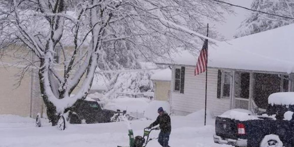
Forecasters predict that Pennsylvania will see snowy weather just in time for the holiday season, increasing the odds of a white Christmas.
Snow in December has been uncommon in the Keystone State in recent years, with the last large December blizzard occurring in 2020, but this may soon change as forecasts predict a snowy weather trend.
Pittsburgh’s last snowy Christmas was in 2022, whereas Philadelphia’s was in 2009. However, according to PA Weather Action, the region may see a cold and potentially snowy December this year.
Disruption to polar vortex ahead of snowy month for Pennsylvania
This Article Includes
The polar vortex, a massive area of low pressure and frigid air encompassing both of the Earth’s poles, is predicted to expand during the next ten days, generating a disruption that might reach Pennsylvania by mid- to late December.
Meanwhile, the Madden-Julian Oscillation (MJO), defined by the National Weather Service as “an eastward moving disturbance of clouds, rainfall, winds, and pressure that traverses the planet in the tropics and returns to its initial starting point in 30 to 60 days, on average,” is expected to enter phase seven by Thanksgiving and transition to phase eight by mid-December.
This can create ideal conditions for cold weather and snowfall.
Early-season snowstorms forecast
Weather models predict a cold December, with temperatures below average across the board.
Forecasters predict that early-season snow will be most favorable in the Northeast and Upper Mid-Atlantic around the middle to late part of December. One European model predicts a trough from the Northern Plains into the Northeast next month.
The US is now experiencing a weak La Niña, which is projected to last into the winter. This strengthens the northern jet stream, which implies that the majority of storms that impact Pennsylvania will originate in the Great Plains rather than the Gulf Coast.
PA Weather Action expects that “Miller B” storms will hit the region often in December and into the winter. The forecaster explains, “This is where a low-pressure system moves across the Ohio Valley before transitioning to a coastal low. Occasionally the coastal low is near I-95, resulting in mixed weather over Pennsylvania.”
In summary, weekly models predict above-average snowfall in December. The exact amount of snowfall is difficult to forecast because each storm is unique.
