The National Weather Service predicts scattered severe thunderstorms in East Texas and the ArkLaMiss region.
Forecasters have given marginal and slight risk regions for severe storms, including Sandy Creek, Texas, where residents are still rebuilding after being ravaged by flash flooding months ago.
“People are living in campers still and RVs. They are not in permanent housing. They are very short on funding to be able to have permanent housing… Please don’t forget about Sandy Creek. Everybody out here still needs a ton of help,” said Jenee Lamberton with Rebuild Sandy Creek in Texas.
Forecasters predict a few tornadoes, huge hail, and severe winds, with Texas, Louisiana, and Mississippi bearing the highest risk.
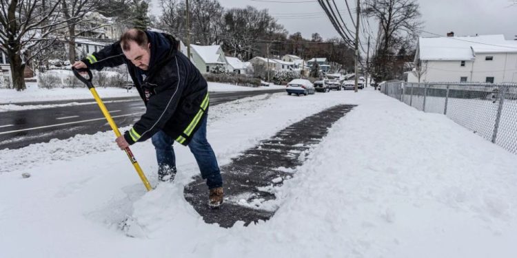
Farther north, snow is expected to fall across the north-central United States and Canada starting Monday night. California also experienced early snow, which fueled excitement ahead of Thanksgiving.
“I think it has been like three years since we’ve actually had snow on Thanksgiving and Christmas, so having it now… it kind of makes it all real again. It’s not just another day,” said Dani McGinty of Wrightwood, California.
Snow is forecast in North Dakota, Minnesota, Wisconsin, and Michigan’s Upper Peninsula. Most areas might receive 1 to 6 inches, with northeastern Minnesota and northwestern Michigan seeing up to a foot by Wednesday.
By Thursday, Thanksgiving Day, and Friday, the snow risk swings east, encompassing parts of Oregon and Nebraska.
However, circumstances in California fluctuate, and some ski resorts rely on snowmaking professionals.
“There is a lot of science behind it, yeah. It’s not just flipping on the guns and going. Just for example, right now when it’s snowing, generally, we can’t make snow because it’s too humid to do it,” said John Slaughter of Placer County, California.
Forecast models show that Montana will receive the majority of the strongest snowfall, with up to 9 inches expected in a 24-hour period by Saturday.

