Much of the East Coast is now under a broad weather alert as multiple Alberta Clippers may bring pop-up snowstorms every other day from Sunday, December 7, through Friday, December 13, according to early weather guidance. The pattern could disrupt travel disruptions in New England, the Mid-Atlantic, and parts of the southern East Coast.
According to the National Weather Service (NWS), a continuous northwest-flow trend will direct multiple fast-moving disturbances from the Great Lakes into the Northeast and Mid-Atlantic. These systems, together known as the “Clipper Express,” frequently cause unexpected snowfall, strong winds, and quick temperature changes.
The first system is predicted to arrive Saturday night, followed by more disturbances every 48 hours. Snowfall totals are unknown, but the NWS advises that sudden bursts may cause sloppy roadways from Maine and Massachusetts down to Pennsylvania, New Jersey, Maryland, Delaware, Virginia, and parts of North Carolina.
Forecasters believe the path of each clipper will decide where snow falls. Northern states, including Maine, New Hampshire, Vermont, Massachusetts, and upstate New York, may have more frequent snow bands. Quick-hitting blasts may occur during commutes in Mid-Atlantic states such as New Jersey, Pennsylvania, Maryland, and Delaware. Depending on the severity of the system, coastal places such as Long Island and southeastern New England may get brief flurries.
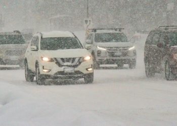
During the December 7-13 period, major traffic routes such as I-95, I-84, I-90, and I-81 may see unexpected visibility losses, blowing snow, and slick pavement.
The NWS advises residents along the Eastern Seaboard to check frequent updates since Alberta Clippers frequently change track and intensity with little notice.

