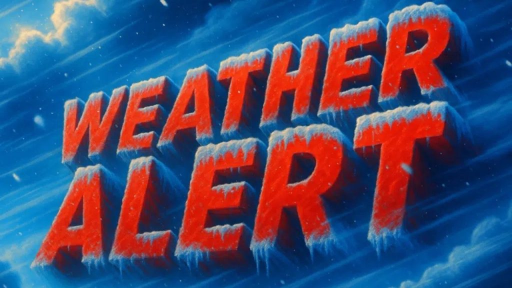
Residents in central and eastern North Carolina should brace themselves for a dramatic drop in temperatures tonight, as arctic air sets over the region, bringing severe cold weather into early Monday morning.
According to the National Weather Service in Raleigh, overnight low temperatures are anticipated to plummet between 10 and 15 degrees, with single-digit wind chills making it seem significantly colder in many regions. The coldest temperatures are forecast from late tonight to sunrise Monday, when outdoor exposure may become perilous.
The temperature drop will affect Raleigh, Durham, Chapel Hill, Fayetteville, Rocky Mount, Goldsboro, Greensboro, Winston-Salem, and the nearby areas. Gusty winds increase the danger of frostbite on exposed skin and raise concerns about frozen pipes and ice spots.
The National Weather Service advises individuals to take precautions before going to bed, such as allowing taps to drip, opening cabinet doors beneath sinks to circulate warm air, and setting thermostats to a steady temperature overnight. Officials also encourage residents to bring their pets indoors and safeguard susceptible plants from freezing temperatures.
While sunshine is forecast for Monday, temperatures will remain much below normal, with several regions struggling to reach above freezing in the afternoon. Wind chills will remain cold throughout the day, particularly in the morning hours.
During the morning commute, drivers should keep an eye out for icy places, especially on bridges, overpasses, and shaded highways.
Cold weather is anticipated to improve gradually later this week, but experts warn that tonight’s freeze could be the coldest of the season so far in several sections of North Carolina.