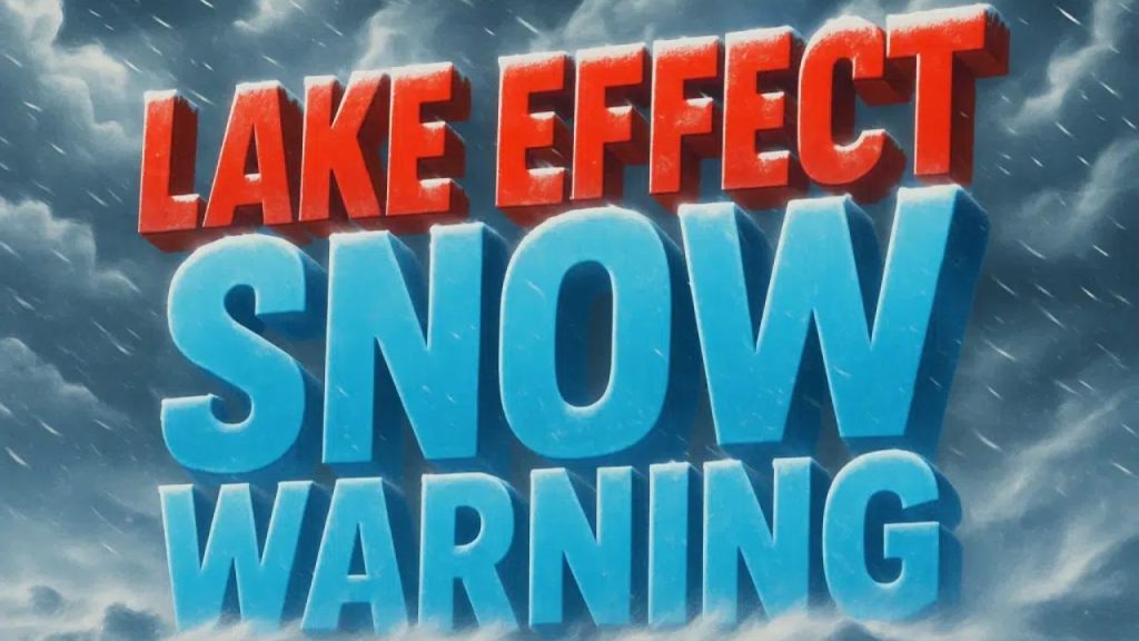
A powerful and prolonged lake effect snowstorm is beginning in western and central New York, with multiple Lake Effect Snow Warnings in force until Sunday or early Monday, posing the risk of unsafe travel and considerable snow accumulations.
According to the National Weather Service in Buffalo, the most severe consequences are forecast in Oswego County, where 10 to 20 inches of snow may fall before the warning expires at 4 p.m. Sunday. Forecasters warn that snowfall rates may reach 3 to 4 inches per hour, resulting in near-zero visibility and quickly deteriorating traffic conditions.
Meanwhile, Chautauqua, Cattaraugus, and southern Erie counties are predicted to receive 6 to 12 inches of snow through 7 a.m. Monday, particularly along the Chautauqua Ridge and Boston Hills. These snow bands are forecast to stay south of the Buffalo Southtowns, although conditions may change quickly over short distances.
Additional warnings include Jefferson and Lewis counties, where 7 to 14 inches of snow are expected from Saturday afternoon to Sunday afternoon, and northern Cayuga County, where 7 to 14 inches may fall between Sunday morning and early Monday, with snowfall rates of 2 to 3 inches per hour.
Winds gusting up to 35 mph will create blowing and drifting snow, further limiting visibility. Officials warn that travel might become extremely difficult or dangerous, particularly during the strongest snow bands, which can move fast.