A developing winter weather pattern is attracting attention across the Midwest, with Illinois, Wisconsin, Michigan, Indiana, and Ohio potentially affected by a significant winter storm system in mid- to late January, according to various forecast signals in the most recent data. While confidence remains low at this point, the overall setup points to a storm potential of bringing snow, mixed precipitation, and poor travel conditions, particularly along the Great Lakes and across northern areas of the region.
Meteorologists emphasize that this is not yet a locked-in forecast, but the consistency seen in recent data suggests that this system should be actively monitored in the coming days.
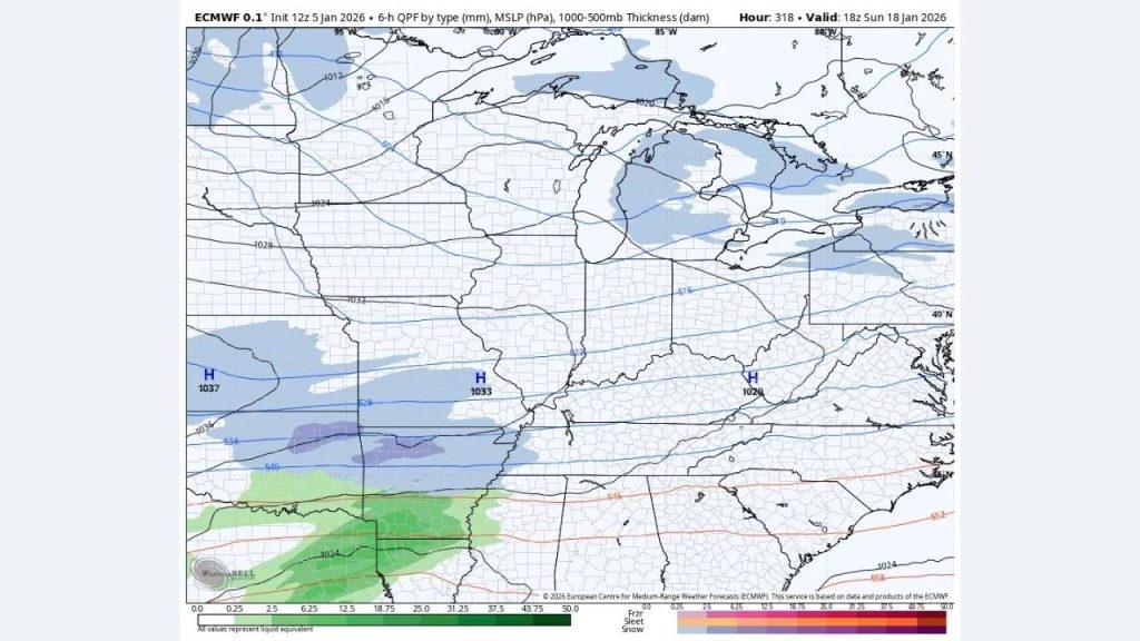
What the Current Data Shows
This Article Includes
Recent forecast maps show a wide storm system forming over the central United States and moving eastward into the Midwest and Great Lakes. The most notable signals are:
- A deepening low-pressure system developing to the southwest before lifting northeast
- Cold air entrenched across the Upper Midwest, supporting snow potential
- Warmer, moisture-rich air pushing north, increasing the risk of mixed precipitation or heavy wet snow
This conflict of air masses is a classic setup for widespread winter impacts, particularly in locations where temperatures are near freezing.
States Most at Risk
According to the current storm track window, the following locations are most vulnerable:
- Illinois: Central and northern Illinois could see accumulating snow or a snow-to-rain transition, depending on storm timing.
- Wisconsin: Strong potential for moderate to heavy snowfall, particularly in southern and eastern parts of the state.
- Michigan: Both Lower Michigan and areas near the Great Lakes may experience snow and lake-enhanced totals, especially if cold air holds firm.
- Indiana: A mix of snow, sleet, or freezing rain is possible, raising concerns for icy road conditions.
- Ohio: Northern and central Ohio may see snow changing to mixed precipitation, especially closer to Lake Erie.
Even minor changes in the storm’s direction might significantly alter who receives heavy snow versus rain or ice.
Why Confidence Is Still Limited
At this distance, forecasters warn that details can change rapidly. Some model runs result in a stronger, more ordered system, while others weaken or shift it north or south. This means:
- Snow totals are highly uncertain
- The rain-snow line could shift by hundreds of miles
- Impacts may be localized rather than widespread
Nonetheless, the fact that multiple runs continue to hint to a similar setup elevates this system above just background noise.
Potential Impacts if the Storm Strengthens
If the storm develops as currently projected, the following things could occur:
- Snow-covered and icy roads, especially during overnight and early morning hours
- Flight delays at major Midwest hubs including Chicago, Detroit, and Cleveland
- Hazardous travel along interstates such as I-90, I-94, and I-80
- Event and schedule disruptions, including outdoor gatherings and weekend plans
Even light precipitation paired with wind could result in blowing snow and decreased visibility.