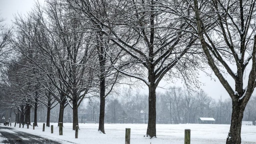
The National Weather Service in State College has issued a hazardous weather outlook for much of central Pennsylvania today and overnight.
According to the advisory, “rain mixing with or changing to snow along with plummeting temperatures below freezing could result in slippery conditions late tonight and into Thursday morning.”
Adams, Blair, Bedford, Cameron, and Center, Clearfield, Clinton, Columbia, Cumberland, Dauphin, Elk, Franklin, Fulton, Huntingdon, Juniata, Lancaster, Lebanon, Lycoming, Mifflin, Montour, Northumberland, Perry, Schuylkill, Snyder, Union, and York counties would all be impacted.
However, the advisory cautions that “the probability of widespread hazardous weather is low” after Thursday morning.
According to AccuWeather, up to three clipper storms with trailing cold fronts are predicted to shift through the Midwest and Northeast by early next week. Tonight’s storm is the first of these.
Outside of central Pennsylvania, a winter weather advisory was issued for numerous counties in the state’s northwest area.
Forest, Mercer, and Venango counties are predicted to receive 2 to 4 inches of snow between 5 p.m. today and 7 p.m. Thursday. Some places may receive six or more inches “due to very localized lake effect bands.”
“Plan for slippery road conditions,” the notice states. “The hazardous conditions will mainly impact travel overnight tonight until Thursday afternoon.”
Conditions are likely to be similar along the state’s northern border.
However, lake effect snow will be worst in Erie and Crawford counties, which are already under storm warnings until 1 a.m. Friday.
“Cold air and elevated northwest winds are expected behind a cold front tonight with lows in the teens and wind chills near zero,” according to the advisory. “A series of frigid low-pressure systems will arrive throughout the weekend and into next week. Low temperatures in the single digits and wind chills below zero are possible every day until Tuesday.
Lake effect snow accumulations are expected to range between 6 and 15 inches, “with lighter amounts north of I-90 and the greatest amounts in the higher terrain of southern Erie and northern Crawford counties.”
These circumstances will result in slick, snow-covered roads and poor visibility into Thursday morning, so drivers are advised to avoid unnecessary travel.
Cambria and Somerset counties in the southwest have also issued winter weather advisories until 5 p.m. Thursday. In addition to the forecast of 2-4 inches of snow, wind gusts of up to 45 mph may cause tree limbs to fall.
“Rain will transition to snow this evening and continue through tonight before tapering to snow showers on Thursday,” the forecast adds. “A blustery northwest wind will drop temperatures below freezing overnight and into the mid-teens by Thursday morning.” Thursday morning, wind chill values will be in the minus single digits. Frequent snow showers will continue until Thursday afternoon, with an additional small snowfall expected.