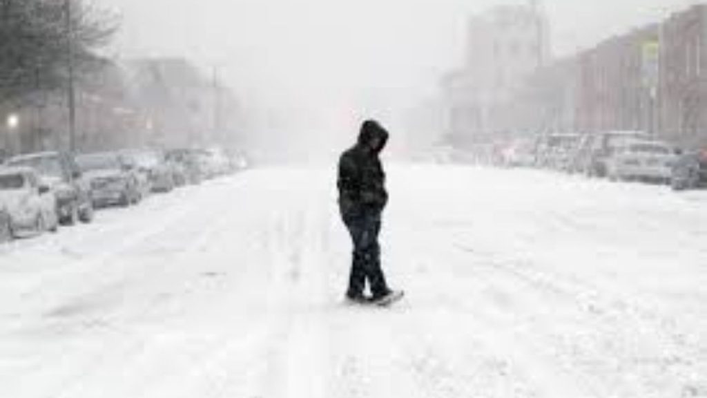
There is growing confidence that a major winter storm will hit a wide chunk of the East Coast this weekend.
Based on the most recent data, a largely snowfall course with some mixing along the coast appears to be more likely, allowing for a broad 6-inch-or-more snowstorm from New York City to Washington, DC.
While some sleet mixing is possible, particularly along the coast, the majority of thermal profiles favor snow for the duration of the event. This supports a consistent 6-10 inches of snowfall in many regions, with localized 10-15 inch totals likely where snow bands and higher snow ratios coincide.
This is shaping up to be a classic front-end-loaded snowstorm, with most of the accumulation occurring before any marginal warming aloft takes effect.
What can go wrong?
This storm is much more susceptible to cold air suppression than rain mixing.
The main areas of concern for mixing are southeast New Jersey, the Delmarva, and coastal Virginia, where dew points can briefly approach 32 degrees. Even in those regions, front-end snow continues to accumulate before any probable changeover.
The larger wildcard is the Arctic high-pressure system to the north.
If that high under-model presses south more aggressively than projected, the storm track may be dragged farther south, dramatically reducing snowfall possibilities in and around New York City.
That chilly air supply is simultaneously the storm’s greatest weapon and its greatest vulnerability.
