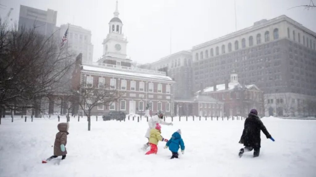
A return to more usual February weather is forecast in Pennsylvania beginning Tuesday, February 10, with the 8-14-day picture indicating increasing precipitation and temperatures settling near seasonal norms through Monday, February 16. The approaching trend provides renewed snow possibilities statewide as colder air establishes itself.
According to the National Weather Service Climate Prediction Center, above-average precipitation is expected for much of the mid-Atlantic and Northeast from February 10 to 16, including Pennsylvania. Temperatures are expected to be close to mid-February averages, keeping many regions near freezing, while above-average warmth stays concentrated in the central United States.
This design allows for several possibilities of snow rather than a single extended storm. Northern and western Pennsylvania, particularly the Allegheny Plateau, Laurel Highlands, and regions north of Interstate 80, are more likely to receive accumulating snow. Central Pennsylvania, including State College and Altoona, may also get snowfall, particularly overnight.
Snow is still probable during the forecast window in eastern Pennsylvania, including Philadelphia, Allentown, and the Lehigh Valley, especially at night and early in the morning when colder air is more likely to hold. Precipitation type may vary at times, but snow chances rise as temperatures approach freezing.
Road conditions may deteriorate fast at this time, resulting in sloppy travel and refreezing during commutes. If snow falls in waves rather than in a single event, PennDOT staff may need to treat the roads many times.
Residents are asked to stay informed, plan for winter travel conditions, and keep emergency supplies on hand. With the colder, wetter pattern predicted to last until Monday, February 16, more advisories or snow-related alerts may be issued as confidence grows heading into next week.
