The National Weather Service (NWS) has issued multiple winter storm warnings, predicting that three states would see gusts of up to 70 mph and up to 20 inches of snow beginning Sunday or Monday and lasting until Wednesday, causing “whiteout conditions.”
States Affected by Winter Storm Warnings
This Article Includes
Winter storm conditions are expected to affect areas in California, Nevada, and Alaska.


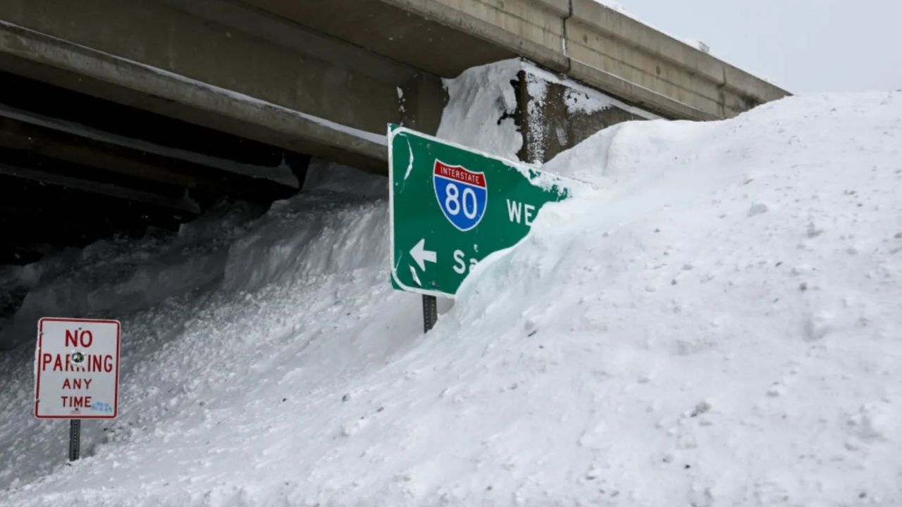
The NWS advises individuals who must travel to “keep an extra flashlight, food, and water in your vehicle in case of an emergency” and to call 511 before leaving to acquire the most up-to-date local road conditions.
California
Communities in the Frazier Mountains, Piute Walker Basin, and Tehachapi are expecting up to 20 inches of snow and 50 mph gusts from Sunday evening to Wednesday evening, with the National Weather Service warning that “travel could be very difficult to impossible.”
Up to 5 feet of snow above 6,000 feet, and up to 7 feet on the Sierra Nevada’s highest peaks, could fall by Wednesday night, with gusts reaching about 60 mph. Areas below 4,000 feet in this region might receive 1 to 2 feet of snow.
From early Monday morning to Wednesday night, the eastern Sierra slopes are forecast to see 70 mph gusts and more than 3 feet of snow above 8,000 feet, as well as up to 16 inches of snow at or below 6,000 feet. The National Weather Service has encouraged people to “consider delaying all travel” and “stay indoors until conditions improve.”
From Monday morning to Wednesday night, the White and Inyo Mountains may have 50 mph gusts and more than 2 feet of snow above 8,000 feet, as well as 8 to 16 inches of snow below 6,000 feet. According to the NWS, movement will be difficult to impossible along Highway 168, particularly along Westguard Pass, as visibility is likely to dip to less than a quarter mile at times.
From Monday night to Wednesday night, parts of Humboldt and Del Norte counties may receive up to 15 inches of snow and 40 mph winds. Motorists should be prepared for road closures, and the NWS advises that tire chains “may be necessary if traveling through mountain passes.”
Trinity County could receive up to 2.5 feet of snow above 3,000 feet and up to 10 inches in locations at or above 2,000 feet between Sunday morning and Wednesday afternoon, as well as 35 mph winds.
From Sunday morning until Wednesday, southern, eastern, and western Siskiyou Counties, including Highways 97 and 89, as well as Interstate 5, south of Weed, could see up to 12 inches of snow and 40 mph gusts, particularly over exposed and elevated locations.
Mono, Lassen, eastern Plumas, and eastern Sierra counties could receive up to 12 inches of snow, particularly near Highway 395, and up to 2 feet west of Highway 89. The NWS cautions that winds might reach 65 mph in “wind-prone locations” beginning Sunday and lasting until Wednesday.
Nevada
Between 5 and 10 inches of snow and 45 mph winds could hit Esmeralda County in western Nevada and central Nye County in central Nevada starting mid-Monday morning, with winter storm warnings in effect until Wednesday night. “Whiteout conditions are expected and will make travel treacherous and potentially life-threatening,” the NWS says, particularly along Highway 95 and Highway 266, which cross the Lida summit.
From Monday morning to Wednesday night, the Sheep Range and the Spring Mountains, including the Red Rock Canyon, are forecast to receive up to 2 feet of snow above 9,000 feet and up to 12 inches at or below 5,000 feet, as well as gusts gusting up to 50 mph.
Parts of southwestern Humboldt County could receive 6 to 12 inches of snow and 50 mph gusts until Wednesday afternoon. This is likely to impede traffic on highways above 2,000 feet, particularly Mattole and Shelter Cove Road.
Alaska
Several portions of Alaska, including the central Interior, Nenana and the Nenana Hills, the northern borough of Denali, the White Mountains, and high terrain locations south of the Yukon River, could receive up to 8 inches of snow and 40 mph gusts by Sunday. Light snow showers may continue throughout Monday, before another bout of snow is forecast to hit the state on Tuesday, perhaps bringing heavy precipitation until Thursday.


