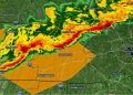
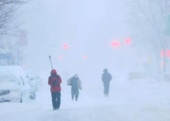
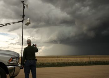
Thunderstorms capable of delivering severe winds, huge hail, flooding, and isolated tornadoes are expected to form over Nebraska late Friday evening and early Saturday morning. Drivers and residents in northern Nebraska should remain vigilant, with the highest-risk areas facing potentially hazardous overnight conditions.
The National Weather Service Omaha/Valley reports that storms with wind gusts of up to 70 mph and hail up to 1.5 inches in diameter will hit the region around 9 p.m. Friday and linger until around 3 a.m. Saturday. Northeast Nebraska has the highest risk of severe weather, with a minor chance of short tornado activity.
Related posts

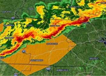
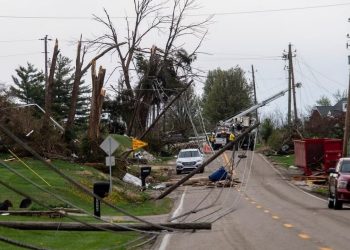
Cities such as Norfolk, Fremont, and Columbus should brace themselves for dramatic weather shifts overnight. Localized flooding, particularly in places with poor drainage, and dispersed power outages caused by strong winds are among the possible consequences. Residents are advised to secure outdoor furniture, charge mobile devices, and check various alert sources for the most recent information.
Another wave of heavy storms is possible on Saturday evening, so homeowners should be weather-aware throughout the weekend. Further advisories or storm warnings may be issued as conditions change.


