The calendar is turning to May, yet winter is still present in some places of the United States. Multiple snow storm warnings and watches have been issued for later this week.
According to the National Weather Service (NWS), various sections of New Mexico, including the Sangre de Cristo Mountains, Johnson and Bartlett Mesas, and Raton Pass, are bracing for severe snowfall and potentially risky travel in the coming days.
Related posts


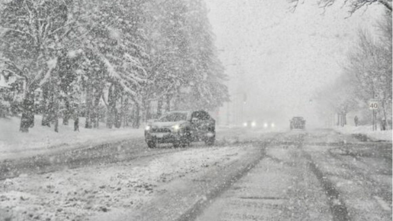
Over one foot of snow possible
The NWS Albuquerque office notified late Tuesday night that a winter storm watch is in force for the aforementioned areas from Thursday morning until Friday evening.
Snow accumulations are forecast to range from 3 to 8 inches between 7500 and 9500 feet, and 8 to 14 inches above 9500 feet. Traveling across mountain passes may be challenging and require tire chains.
“Snow levels will be between 9000 and 10000 feet when precipitation begins on Thursday, dropping to around 7500 feet Friday morning after a cold front passes,” NWS Albuquerque said. “The period of heaviest snow is expected late Thursday night through Friday morning.”
More snow, freezing temps expected elsewhere
In addition to New Mexico, NWS Pueblo predicts up to 20 inches of snow in areas of Colorado’s mountain ranges this week. Snow is also expected on Cloud Peak and Franks Peak in Wyoming, with up to 10 inches falling.
Meanwhile, going eastward, numerous locations are bracing for colder-than-average weather in the coming days.
“Some record low maximum temperatures may be set in the Southern states, with highs in the 40s and 50s in some locations, compared to historical averages in the 70s and near 80,” AccuWeather Meteorologist Brandon Buckingham said. “That’s 20 to 30 degrees below average.”
AccuWeather Senior Meteorologist Bob Larson stated that daytime highs in the Midwest and Northeast “will run several to 10 degrees below average this time, compared to 15 to 30 degrees below average last week.”


