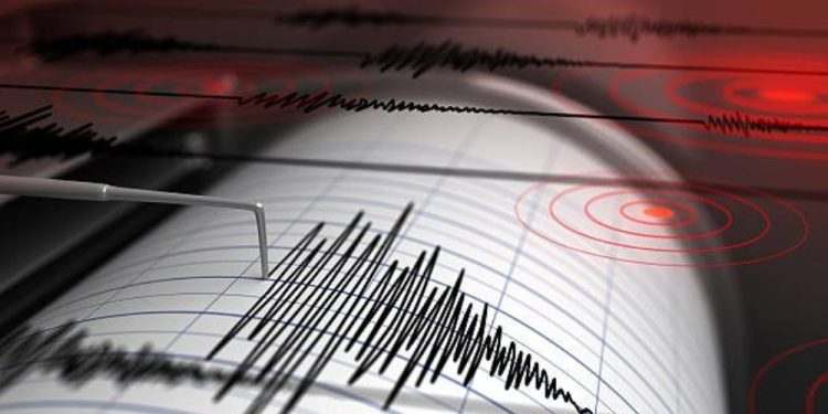
The United States Geological Survey (USGS) reported a magnitude 4.0 earthquake off the coast of Oregon early Monday, September 29.
The tremor occurred at 1:31 a.m. local time (08:31 UTC), approximately 10 kilometers below the seafloor. The epicenter was centered at 43.331°N, 128.143°W, offshore west of the Oregon coast.
According to USGS data, the earthquake was examined and classified as a moderate seismic event. At this moment, no damage or injuries have been reported, and only one citizen intensity report has been submitted using the “Did You Feel It?” method.
According to USGS predictions, the risk of large aftershocks is quite low. The organization predicts only a 1% risk of a magnitude 4.0 or greater aftershock during the next week. The probability of smaller earthquakes (magnitude 3.0 or more) stays around 9%.
Large earthquakes are typical along the Cascadia Subduction Zone, which connects the Juan de Fuca and North American tectonic plates. Seismologists continue to actively watch the area owing to the possibility of increased seismic activity.
Residents who experienced shaking are asked to file a report to the USGS to help improve earthquake response and research.


