The National Weather Service in Charleston has issued a Winter Weather Advisory for most of West Virginia, which will be in effect from 11 p.m. Monday to 1 p.m. Tuesday, as a mix of snow, sleet, and freezing rain moves through the region overnight.
What to Expect:
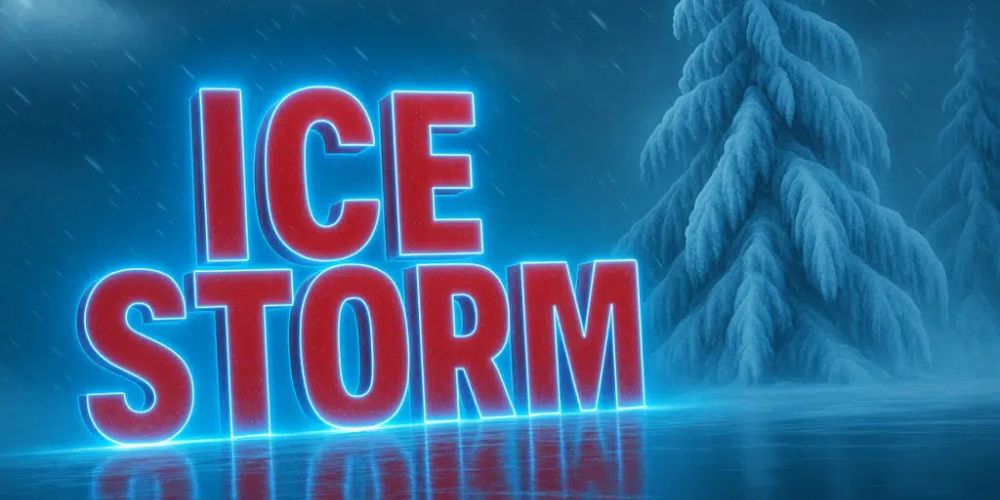
Related posts


Timing: Precipitation begins around midnight, spreading southwest to northeast and continuing through Tuesday morning.
Snow Accumulations:
- Lowlands: 1–3 inches possible.
- Mountains: Trace to 2 inches, with mainly ice across higher elevations.
Ice Accumulations:
- Mountains: Generally 0.10–0.15 inch, locally higher above 3,500 feet.
- Lowlands: Light glaze possible.
Impacts:
- Travel will most certainly be dangerous Tuesday morning, particularly on untreated roads and steep terrain. Icing appears to be more likely than snow in the highlands, although lowland areas will usually experience snow early, transitioning to rain by late morning or lunchtime.
Counties Affected:
The alert now encompasses Fayette and Raleigh counties, as well as several others in central and northern West Virginia, southeast Ohio, and southwest Pennsylvania.
Timing Breakdown:
- Midnight–6 a.m. Tuesday: Snow develops, mixing with sleet and freezing rain.
- 6 a.m.–10 a.m. Tuesday: Widespread wintry mix; travel disruptions likely.
- Late morning–afternoon: Gradual changeover to rain in valleys; snow showers linger in mountains.
Confidence:
- High for light icing in the mountains.
- Medium for snow totals due to uncertain snow–ice line placement.
Motorists should allow extra travel time, review 511 road reports, and stay alert for changing road conditions until Tuesday morning.


