Snow and rain are expected to return to the New York City area this week in advance of Christmas.
Our First Alert Weather Team has declared a First Alert Weather Day for Tuesday due to potential travel issues.
Related posts


Snow totals late Monday into Tuesday
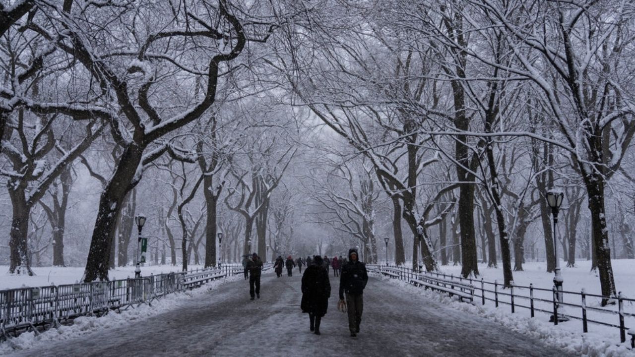
Following a sunny and cold day on Monday, a small system is expected to deliver another bout of wintry weather to the region late this evening and early Tuesday morning.
With cold air continuing in place, many locations will likely see heavy snowfall before the rain arrives.
Snowfall totals will vary from a dusting to two inches on average, with 2-4 inches in northwestern zones. There is unlikely to be any accumulation along the coast.
Travel delays are likely, given that this little storm coincides with the busiest time for holiday travel. After the storm passes, things appear clear and tranquil for Christmas Eve. There may be a few showers on Christmas Day. Both days will see highs in the 40s.
Projected snowfall totals by region
- New York City: coating to 1 inch
- Long Island: coating to 1 inch
- Central Jersey and Jersey Shore: coating to 1 inch
- Northern New Jersey, Lower Hudson Valley, and Connecticut: 1-2 inches
- Upper Hudson Valley and far Northwestern New Jersey: 2-4 inches


