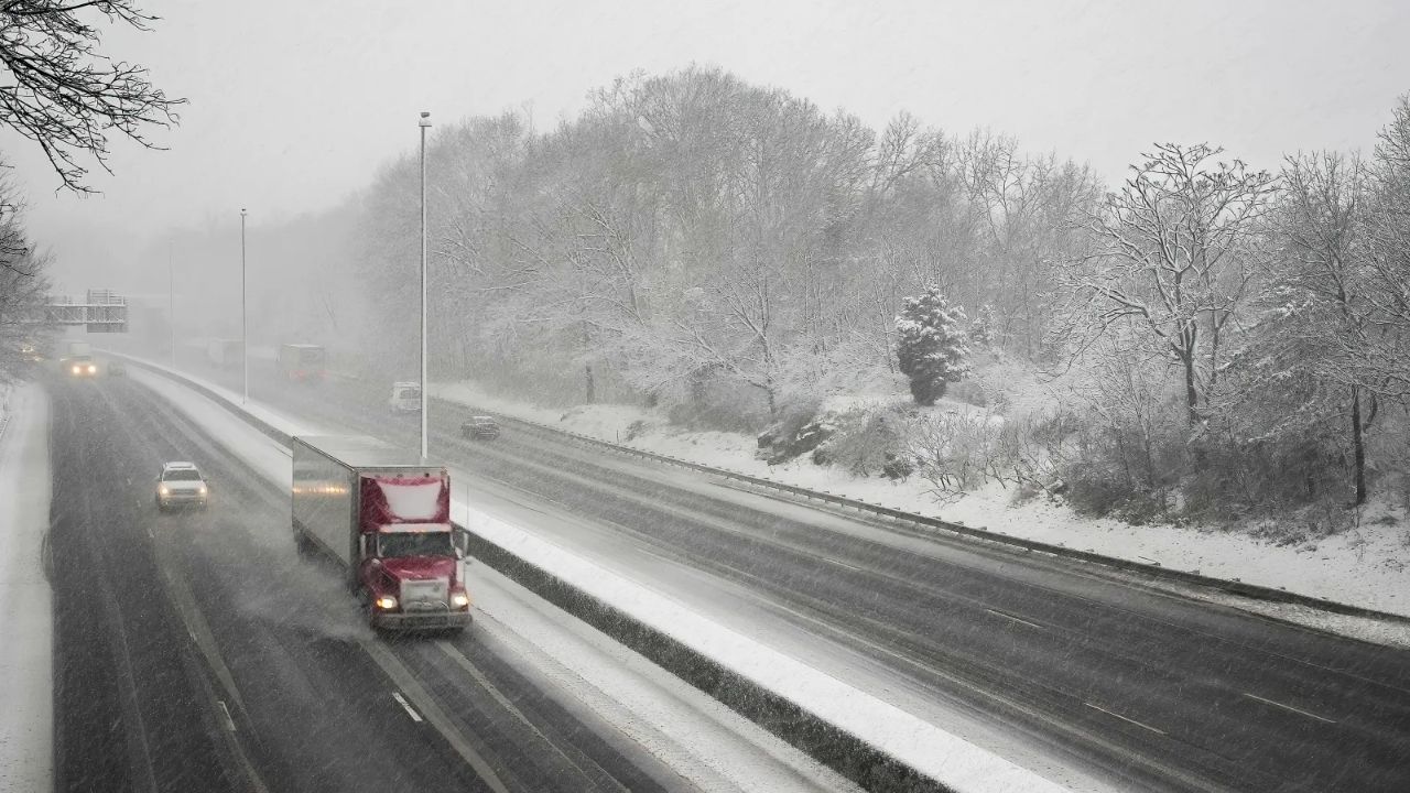
The National Weather Service (NWS) issued multiple winter weather advisories and winter storm watches across parts of the Northeast on Monday as a fast-moving storm approaches Christmas.
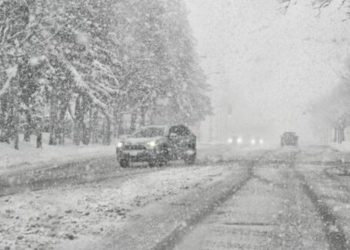
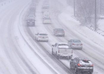
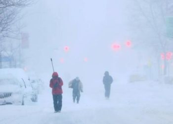
Winter storms can quickly become dangerous, resulting in limited visibility, slick and icy roads, and disruptive conditions that strain local infrastructure. Snow, freezing rain, and strong winds can also cause transport delays, accidents, and power outages. With holiday travel already underway, timely warnings and realistic predictions are critical for assisting locals and travelers in making safer decisions.
Related posts


NWS offices around the region are warning of snow accumulation and challenging traffic on Tuesday, with some regions also expecting mixed precipitation later in the day.
“It’s a fairly light snow system transitioning to a wintry mix, with maybe a little freezing rain in the afternoon,” NWS lead meteorologist Mike Kistner said, describing the outlook for the Binghamton, New York, area. “It’s going to impact the morning commute tomorrow.”
Forecast highlights by region
- Central and southern Maine, New Hampshire, and Vermont: Snow totals of 3 to 5 inches are expected in parts of south central, southwest, west central, and western Maine, along with central and northern New Hampshire, from noon Tuesday through Wednesday morning. Conditions could worsen during the Tuesday evening and Wednesday morning commutes. Snow is expected to begin early Tuesday in Vermont.
- Bennington and western Windham counties, Vermont: A period of mixed precipitation is forecast, including 2 to 5 inches of snow and a light glaze of ice at elevations above 1,200 feet, from 7 a.m. Tuesday to 7 a.m. Wednesday.
- Northern New York and parts of Vermont:3 to 5 inches of snow is expected from Tuesday morning through Wednesday morning, which could affect commuting and holiday travel.
- Central and coastal Maine: A winter storm watch remains in effect from Tuesday afternoon through Wednesday afternoon for south central and southwest Maine. Heavy snow is possible, with totals over 6 inches and localized amounts up to a foot. Coastal Hancock County could also see more than 6 inches, with isolated higher totals possible.
- Central New York, northeast Pennsylvania, and northwest Pennsylvania: A mix of snow and wintry precipitation is expected from early Tuesday into early Wednesday, with 2 to 5 inches likely (and locally up to 6 inches at higher elevations). A light glaze of ice is also possible. Lower elevations near Syracuse and the Mohawk Valley may see 1 to 3 inches.
- Oswego, Jefferson, and Lewis counties, New York: Snow totals of 3 to 5 inches are forecast from Tuesday morning through Wednesday morning, with 1 to 2 inches more likely in lower elevations.
- Sussex County, New Jersey, and Carbon/Monroe counties, Pennsylvania:1 to 4 inches of snow is expected, with a light glaze of ice possible between 1 a.m. and 4 p.m. Tuesday.
Travel concerns
Drivers should be prepared for slick, potentially icy roadways, particularly during morning and evening commutes, and consider slowing down, providing extra time, or delaying travel if feasible. Snow and freezing precipitation may collect on sidewalks, steps, driveways, and untreated roads, making them hazardous.
“Periods of moderate and heavy snow will combine with low visibility to create dangerous driving conditions,” NWS Gray, Maine, said in its winter storm watch. “The hazardous conditions could impact the Tuesday evening and Wednesday morning commutes as well as holiday travel.”


