A Winter Weather Advisory has been issued for parts of Maryland and Northern Virginia, as a mix of freezing rain and sleet is likely to hit the region on Friday, potentially disrupting traffic in the afternoon and evening.
According to the National Weather Service (NWS) in Baltimore and Washington, D.C., chilly air will continue to flow south into the Mid-Atlantic as high pressure rises over Quebec. Simultaneously, moisture will exceed a frontal boundary to the south, creating the conditions for a wintry mix as warmer air moves in above a sub-freezing surface layer.
Related posts


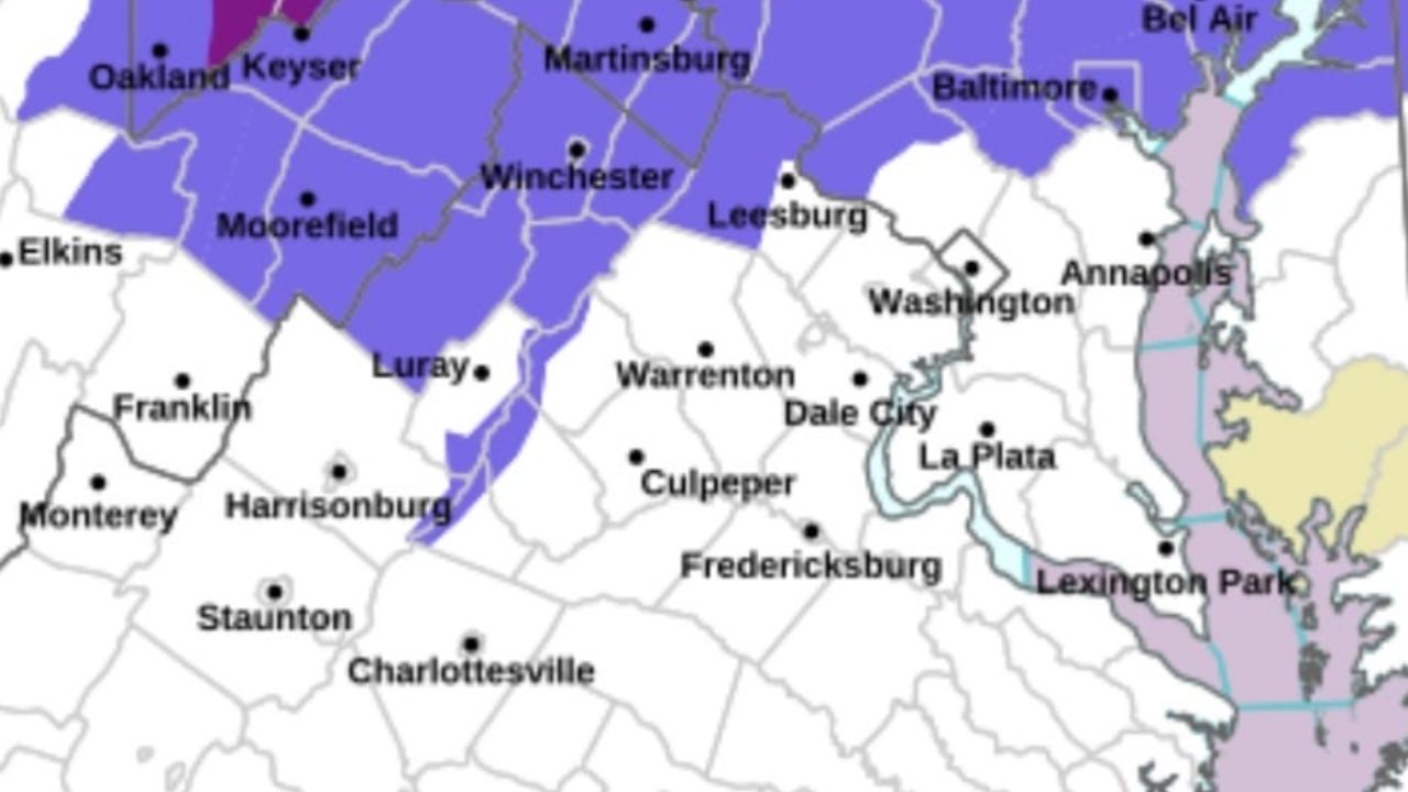
The advisory is in place from midday Friday to midnight Friday night and covers Frederick, Carroll, northern and southern Baltimore County, northwest Montgomery County, northwest Howard County, central and southeast Howard County, and western Loudoun County.
Forecasters predict mixed precipitation, with snow and sleet accumulations of up to one inch and ice accumulations of around a tenth of an inch. South of I-70, icing quantities are predicted to be lighter, ranging from a trace to a few hundredths of an inch.
Precipitation is predicted to spread across the area by midday Friday, starting as sleet or freezing rain. Freezing rain with sleet is expected to continue into the afternoon and evening, with a larger probability of sleet near the Maryland-Pennsylvania border. Temperatures are forecast to remain near freezing throughout the day.
The National Weather Service cautions that slick roads are anticipated, especially during the Friday evening commute. As the system exits to the northeast late Friday night, some light precipitation or freezing drizzle may continue into the early nighttime hours.
Drivers are encouraged to slow down, allow for extra travel time, and exercise caution on untreated roads, bridges, and overpasses. Dial 511 to get up-to-date road conditions.


