
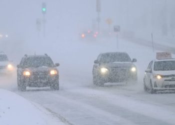
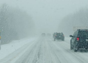
A strengthening winter system is forecast to bring snow and freezing rain to most of the Mid-Atlantic on Thursday, increasing concerns about perilous travel conditions in many states. The region is predicted to be located beneath a complex temperature configuration in which cold air near the surface collides with warmer air aloft, resulting in a mix of wintry precipitation.
Maryland, northern Virginia, Washington, DC, Delaware, southern Pennsylvania, and areas of West Virginia are most at risk, with freezing rain expected, particularly in the morning and lunchtime hours on Thursday. Rain in Washington, Baltimore, Frederick, Hagerstown, and Winchester may turn to freezing rain or sleet, causing ice to develop on roadways, bridges, and overpasses.
Related posts

Further north and west, including central and northern Pennsylvania, precipitation is more likely to fall as snow, although coastal plain areas closer to southern Maryland and Delaware may receive periods of rain before colder air arrives. Even when rain falls initially, temperatures can decrease swiftly, causing water on roads to freeze quickly.
The main worry is ice accumulation, not precipitation amounts. Even a little freezing rain might cause highly hazardous driving conditions with minimal visible warning. Elevated surfaces will ice first, and untreated roads can become hazardous in minutes. Gusty winds may also follow the system, increasing the likelihood of power outages as ice accumulates on trees and lines.
Conditions may gradually improve Thursday night as cooler air causes precipitation to turn to snow or taper off. However, icy conditions may remain into Friday morning, particularly in shaded and untreated regions.
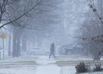
Residents in the Mid-Atlantic are warned to avoid travel if possible, give extra time, and constantly check forecasts, as slight temperature changes might have a large impact across the region.


