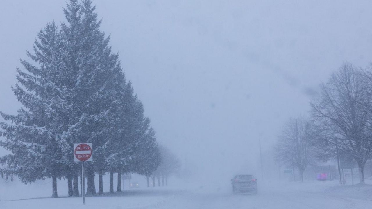
According to updates from two of the area’s most-followed meteorologists, confidence in the possibility of a large winter storm hitting the DC region later this week into the weekend is growing.
NBC4 Chief Meteorologist Doug Kammerer provided the most recent run of the European weather model, which depicts widespread heavy precipitation in Maryland, Virginia, and the District, with 10–19 inches of snow over the region. Kammerer cautioned that the map is not his official prognosis and that model guidance will vary over the next several days. As confidence grows and specifics become clearer, he plans to issue his first official snowfall forecast Thursday evening.
Related posts


In his post, Kammerer stated that the European solution is one option he can “definitely see happening,” but cautioned readers not to lock in totals that day early. He added that the pattern indicates the possibility of a large-scale event and asked people to keep checking back as the forecast evolves.
FOX5 meteorologist Mike Thomas echoed that growing signal, citing patterns from the National Blend of Models, the National Weather Service’s favored forecast. Thomas observed that over the last 48 hours, the NBM has regularly forecast more than a foot of snow in parts of the DC area, with the newest version showing 12–18 inches area-wide.
Thomas noted that detailed snowfall maps are still too early and that “first call” totals are premature at this point. He said that Thursday is a better day to lock in early accumulation expectations. Nonetheless, he stated that the instruction provides a strong overall sense of the system’s potential and highlights why the weekend is crucial.
Both meteorologists stated that, while exact precipitation quantities are unknown, the overall trend favors a storm capable of bringing widespread, disruptive snow. With several days remaining, homeowners are asked to constantly watch updates and begin planning contingency plans in case the higher-end solutions are confirmed.


