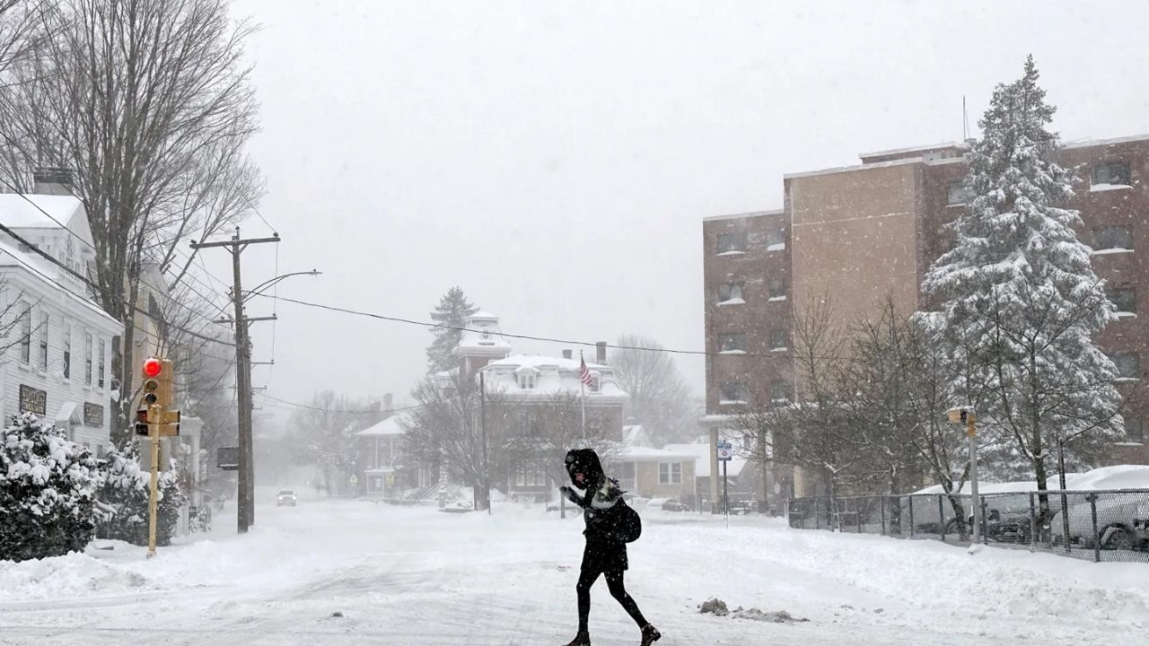
A storm will deliver snow and a wet wintry mix to parts of the Northeast on Sunday night and Monday, according to AccuWeather forecasts.
The storm arrives despite temperatures being much higher than recently, when intense Arctic cold extended all the way to Florida, with six states likely to experience winter weather: West Virginia, Maryland, Virginia, Pennsylvania, New Jersey, and New York.
Related posts


Expected Snowfall Amounts
From Saturday night to Sunday, a pocket of dry, frigid air will be present, potentially limiting how far north a southern storm with soaking rain can travel.
However, the storm is predicted to travel far enough north to bring a mix of snow and rain to parts of West Virginia, Maryland, northern Virginia, and southern Pennsylvania. Eastern Pennsylvania, northern and central New Jersey, and the coastal sections of New York are expected to see mostly snow, with southeastern New England also affected.
A narrow strip of 1-3 inches is possible, especially on grassy and elevated terrain, with an AccuWeather Local StormMax of 7 inches in the most heavily impacted regions.
The exact trajectory of the storm and how it interacts with the cold, dry air in the region will determine how far north the storm’s snow falls. A slightly stronger storm might be the difference between no wet snow accumulation and a few inches from north of Philadelphia to New York City.
Travel Impact Along I-95 Corridor
If snow continues to fall intermittently and lightly along the Interstate 95 corridor, treated roads may stay moist. However, if it snows heavily for a few hours, roadways may turn treacherous and mushy. Those with travel plans should continue to monitor for updates because situations might change quickly.
According to AccuWeather meteorologists, this storm does not appear to be a repetition of the massive winter storm that blanketed the Northeast in significant snow and sleet in late January.
Additional Weather Systems
From late Sunday to early Monday, a secondary area of light snow and flurries will form well to the north of the southern storm.
This weak storm system will impact the St. Lawrence Valley, the Adirondacks, and northern New England.
Warmer Weather Ahead
Beyond Monday, a second wave of Pacific air will come into the Northeast, possibly bringing some of the highest temperatures of the year.


