
Snow will begin to fall on highways in western Pennsylvania and northern West Virginia by late Tuesday night, creating hazardous conditions for Wednesday morning commutes.
The National Weather Service in Pittsburgh has issued a Winter Weather Advisory for Venango, Forest, Clarion, and Jefferson counties, as well as the higher elevations of Westmoreland, Fayette, and Indiana counties in Pennsylvania and eastern Preston and Tucker counties in West Virginia, from 9 p.m. Tuesday to 1 p.m. Wednesday. Snowfall is forecast to range from 2 to 5 inches, with the maximum amounts falling in ridge tops and mountainous terrain like Canaan Valley, Ligonier, and Ohiopyle.
Related posts
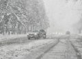

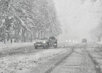
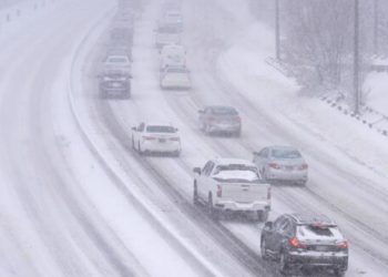
Snow will fall in the region after 9 p.m., becoming consistent overnight. Gusts of up to 35 mph might blow snow across exposed roadways, temporarily reducing visibility on routes such as U.S. 219, Route 422, and Interstate 80. Some mixing with rain is possible by late Wednesday morning, particularly at lower elevations, which could result in slushy conditions.
PennDOT and WVDOH staff are expected to clean major routes, while untreated secondary roads may stay snow-covered until midday. Drivers should slow down, increase their following distance, and allow for additional travel time.
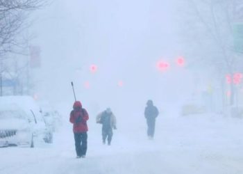
Snow will end from west to east by early Wednesday afternoon, but more advisories may be issued if colder air remains behind the system.


