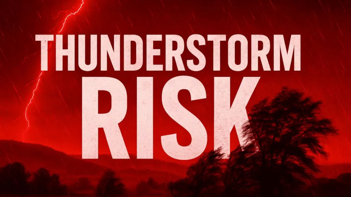
Hot, muggy air creates the conditions for sporadic thunderstorms in Philadelphia on Sunday, with risks increasing by 2 p.m. Residents throughout the city, especially those along major corridors like I-95, should prepare for sudden downpours and brief flooding as storms move through the area.
According to the National Weather Service, patchy morning fog will lift, giving way to sun and a high of around 88°F. Thunderstorms and showers are expected to develop after midday, with a 30% probability of precipitation throughout the afternoon. The weather may cause slick roads and poor visibility; drivers should exercise extreme caution, especially on I-95 and major city thoroughfares. South winds at 5 mph may make circumstances feel even muggier.
Related posts


Localized flooding is conceivable where rain falls most heavily, particularly in low-lying neighborhoods and poorly drained streets. If thunder roars, get indoors and postpone outdoor activity until the storm passes. Lightning can cause power outages or short disturbances to utility systems. Secure loose objects outside and charge gadgets ahead of any inclement weather.
The potential of showers continues into Monday, with storms expected before 11 a.m. and again in the afternoon, raising rain chances to 70%. Temperatures remain high, hitting 87°F on Monday and climbing to 90°F by Tuesday, with thunderstorms expected each afternoon.
By midweek, expect more heat and humidity. Rain is expected daily, with highs near 90°F through Thursday, with summer thunderstorms possible each afternoon.
5-Day Philadelphia Summer Weather Forecast:
- Sunday: Patchy fog, then chance of thunderstorms after 2 p.m. High: 88°F
- Monday: Showers, thunderstorms likely before and after midday. High: 87°F
- Tuesday: Partly sunny, chance of afternoon storms. High: 90°F
- Wednesday: More showers, thunderstorms possible after 2 p.m. High: 90°F
- Thursday: Partly sunny, storms possible. High: 92°F


