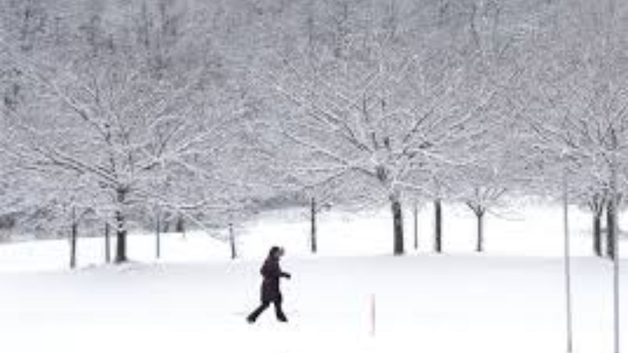
A few flurries and snow showers are anticipated during the day Saturday before a disturbance arrives Saturday night.
The system will primarily move to our south and east, although we will be on the northern edge of some minor snowfall.
Related posts


A covering of snow up to an inch is possible west of I-81, with slightly higher amounts expected along and east of I-81. The farther south and east you live, the more snow you’ll get.
Regardless of totals, any flakes that fall will adhere to untreated surfaces with temps in the teens and 20s.
Lake-effect flurries and snow showers are anticipated through Sunday.
The Future Alert Interactive Radar allows you to remain up-to-date on the latest weather alerts and monitor the storm.


