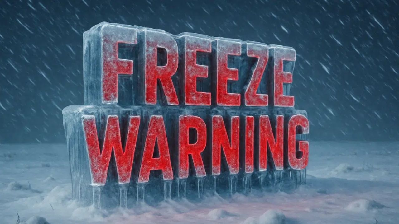
A widespread hard freeze and dangerous cold temperatures are forecast across parts of Florida, southern Georgia, and southeast Alabama, prompting several Freeze Warnings, Cold Weather Advisories, and a Freeze Watch into early next week.
According to the National Weather Service, a Hard Freeze Warning is in force from late Sunday night to Monday morning, with nightly low temperatures as low as 22 degrees in southeast Alabama and south-central and southwest Georgia. A Cold Weather Advisory will also be in effect throughout this period, with wind chills reaching the teens.
Related posts


The affected areas include much of south Georgia, parts of southeast Alabama, and vast swaths of north and northeast Florida, including both inland and coastal communities. Cities affected include Albany, Valdosta, Thomasville, Bainbridge, and Dothan, as well as areas of the Panhandle and First Coast such as Panama City, Apalachicola, Fernandina Beach, and St. Simons Island.
In addition to Monday’s freeze, a Freeze Watch has been issued for late Monday night into Tuesday morning, with temperatures forecast to drop further into the low 20s, raising concerns about a second night of severe freeze conditions.
Meteorologists warn that frost and freezing temperatures might destroy crops and sensitive flora, harm unprotected outdoor plumbing, and endanger pets and vulnerable populations. With extended exposure, wind chills as low as 14 to 17 degrees can cause hypothermia or frostbite.
We encourage residents to protect sensitive plants, wrap or drain exposed pipes, bring pets indoors, and monitor elderly neighbors. Portable heaters should be used carefully, and generators or barbecues should never be used indoors.
A Wind Advisory is also in force along parts of northeastern Florida’s coast, with gusts reaching 45 mph, increasing the chance of power outages and debris.


