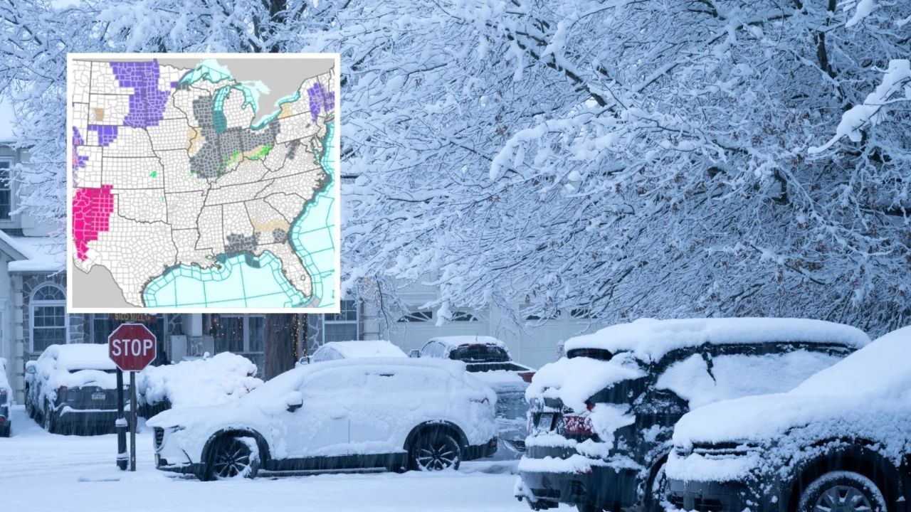
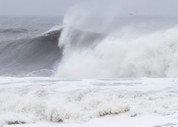
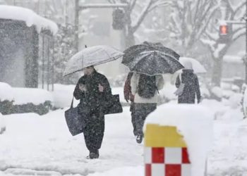
Winter storm warnings were issued across the Rockies and Alaska on Friday, with some mountain areas expected to receive up to 14 inches of snow and hazardous travel.
Winter storm warnings and advisories are in effect for Alaska, Colorado, Montana, Wyoming, Utah, Nebraska, North Dakota, Minnesota, South Dakota, New York, Pennsylvania, Connecticut, Massachusetts, Rhode Island, New Hampshire, and Maine, with snow, ice, strong winds, and hazardous driving conditions.
Related posts
This Article Includes
The National Weather Service (NWS) has cautioned that commutes and mountain travel might become dangerous quickly, stating in one notice that it “could be very difficult.”
NWS advisories warn of widespread winter weather, including heavy snow, freezing rain, blowing snow, strong winds, and limited visibility, with hazardous driving conditions likely throughout various regions through Friday and into the weekend.
Colorado
A winter storm warning for Colorado’s Southern Front Range Foothills was issued at 12:50 a.m. MST Friday and was slated to expire at midnight MST Friday, calling for an additional 8 to 14 inches of snow and indicating that road closures were possible.
A second snow storm warning (issued at 12:50 a.m. MST Friday and valid until midnight MST Friday) covered high terrain, including the Rocky Mountain National Park and Summit County ranges, with 6 to 14 inches anticipated with the same “very difficult” travel message connected to commute windows.
Colorado issued a winter weather alert for the Denver-area corridors at 12:50 a.m. MST on Friday. The advisory was valid from 5 a.m. to 8 p.m. MST and forecasted 3 to 5 inches with gusts up to 35 mph east of I-25.
Other Colorado advisories (issued at 12:50 a.m. MST Friday and running until midnight MST Friday, as well as Pueblo/Grand Junction mountain advisories that ran into Friday night) included pockets of 4 to 12 inches of snow and gusts of up to 45 mph in higher passes, with repeated warnings that roads could become slick and visibility could drop in blowing snow.
Alaska
A winter storm warning was issued for parts of the Kenai Peninsula at 2:53 p.m. AKST Thursday and is expected to last from 11 p.m. Thursday to 9 p.m. AKST Friday, with 5 to 10 inches of snow, gusts up to 35 mph, and visibility of one half-mile or less at times.
Another Alaska winter storm warning (Eastern Alaska Range south of Trims Camp) was issued at 2:44 p.m. AKST Thursday and is in effect from 3 a.m. Friday to 9 p.m. AKST Saturday, with 5 to 10 inches of snow forecast and gusts up to 40 mph, as well as blowing and falling snow that can reduce visibility to one half-mile or less at times.
Several winter weather advisories have been issued across Southcentral Alaska, including one issued at 2:53 p.m. AKST Thursday (effective 11 p.m. Thursday to 7 p.m. AKST Friday) that forecasts 6 to 18 inches near Portage/Turnagain Pass and wind gusts of up to 60 mph through Eastern Turnagain Arm, with potential damage to trees and powerlines.
Other Alaska advisories were issued primarily from late Thursday night into Friday (and several through 5 a.m. AKST Saturday), with typical snowfall ranges of 7 to 14 inches (Tyonek), 8 to 16 inches (Thompson Pass/Ernestine), and gusts up to 50 mph in some passes, as well as warnings of near-whiteout conditions in heavier bursts.
Montana
A winter storm warning for the Absaroka/Beartooth Mountains was issued at 10:38 p.m. MST Thursday and is slated to expire at 11 a.m. MST Friday, with 5 to 10 inches of additional snow and a warning that blowing snow may greatly decrease visibility.
A second Montana winter storm warning for the Crazy Mountains (issued at 10:38 p.m. MST Thursday and valid until 11 a.m. MST Friday) predicted periods of heavy snow with further accumulations of up to 4 inches and gusts of up to 35 mph, as well as increased avalanche danger in the high country.
Separate winter weather advisories in the Billings-area suite were shorter-duration (several through 9 a.m. MST Friday, and one through 3 p.m. MST Friday) and generally lower totals—often up to 2 inches in lower valleys—though one advisory for the Pryor/Northern Bighorn Mountains cited 4 to 8 inches and warned travel on US-14 could be “very difficult” due to snow and wind.
Wyoming
A winter storm warning for the South Laramie Range was issued at 1:20 a.m. MST Friday and will expire at midnight MST Friday, with 4 to 7 inches of snow and wind gusts up to 40 mph expected along the Interstate 80 Summit between Cheyenne and Laramie.
Winter weather advisories (many issued at 1:20 a.m. MST Friday) typically last until 6 p.m. MST Friday or midnight MST Friday, with recurring snowfall ranges of 3 to 6 inches (Central Laramie County/South Laramie Range Foothills) and gusts up to 45 mph, as well as warnings about blowing snow, reduced visibility, and slick bridges.
Riverton-area Wyoming advisories (released 10:42 p.m. MST Thursday) continue into Friday afternoon in some areas, including a Wind River Mountains advisory warning that traffic across South Pass could be “very difficult,” with 3 to 6 inches along the eastern slopes.
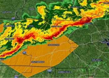
New England
A broad winter weather advisory covering parts of Connecticut, Massachusetts, and Rhode Island was issued at 10:28 p.m. EST Thursday and was set to expire at noon EST Friday. The advisory called for a mixed bag of snow/sleet and ice, with one segment predicting ice accumulations of three-tenths of an inch and a risk of ice damage in higher terrain.
New Hampshire likewise issued an advisory at 11:41 p.m. EST Thursday that would last until 1 p.m. EST Friday, forecasting 2 to 5 inches of storm-total snow, sleet, and a light sheen of ice, while warning that untreated side roads might become hazardous.
Northern Maine’s advisory was issued later, at 12:48 a.m. EST Friday, and will last from 6 a.m. to 1 p.m. EST Saturday, focusing on mixed precipitation with ice up to one-tenth of an inch and treacherous travel.
Upper Midwest and Plains
In Minnesota, advisories range from short-lived early-morning freezing drizzle (some expiring at 9 a.m. CST Friday) to longer-running wintry-mix alerts, which were slated for Friday afternoon into Saturday morning and frequently mentioned a light crust of ice and up to a few inches of snow.
South Dakota advisories were mostly based on mixed precipitation, scattered blowing snow, and gusts up to 35 mph, with start timings including 9 a.m. Friday in some counties and expiration windows extending into early Saturday.
Nebraska’s advisory (North Platte forecast area) was issued at 2:03 a.m. CST Friday and is expected to last until noon CST Saturday. It calls for mixed precipitation with 2 to 4 inches of snow, a light layer of ice, and gusts up to 45 mph, which could result in blowing snow and impaired visibility.
North Dakota advisories (from the Grand Forks and Bismarck forecast areas) focused on freezing drizzle and icy bridges in the early morning timeframe, with some due to expire by 6 a.m. CST or 9 a.m. CST Friday.
New York and Pennsylvania
Binghamton issued winter weather advisories for sections of New York and northeast Pennsylvania at 4:16 a.m. EST Friday, which were slated to expire at 10 a.m. EST Friday, warning of freezing rain with a light layer of ice and treacherous roads for the morning commute.
Albany-area advisories were broader and ran longer in the morning, including a multi-state advisory issued at 12:48 a.m. EST Friday and slated to expire at noon EST Friday, citing mixed precipitation and ice accumulations of up to two-tenths in some higher elevation locations.
Utah
Utah’s winter weather advisories (issued at 10:15 p.m. MST Thursday) lasted until 5 a.m. MST Friday in some valleys and 5 p.m. MST Friday in mountain zones, with several locations expecting 2 to 8 inches and “locally up to 10 inches” in favorable terrain.

